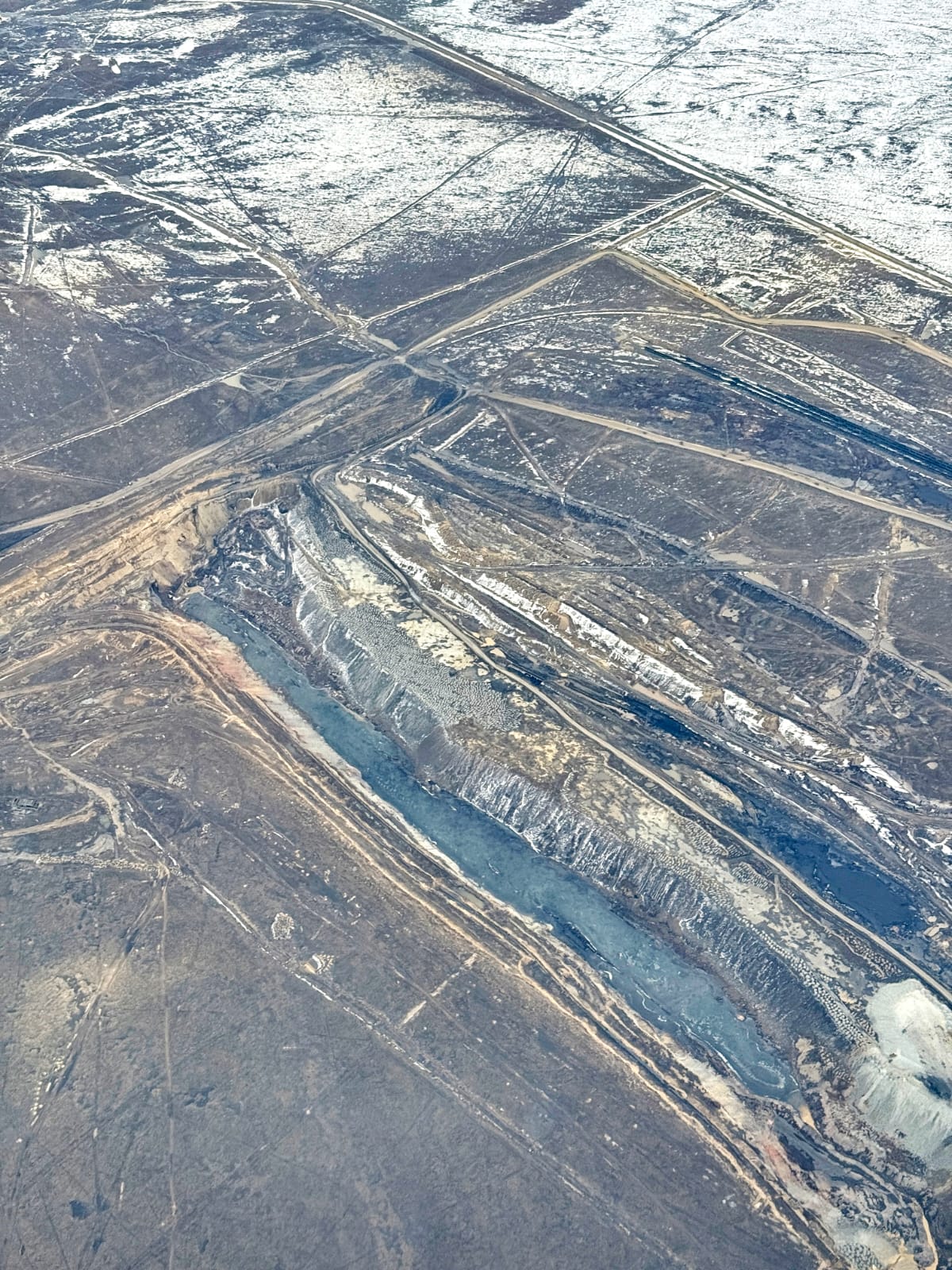
Aerial reconnaissance of two regions was conducted to assess the flood situation
15.04.2025 17:51:52 2607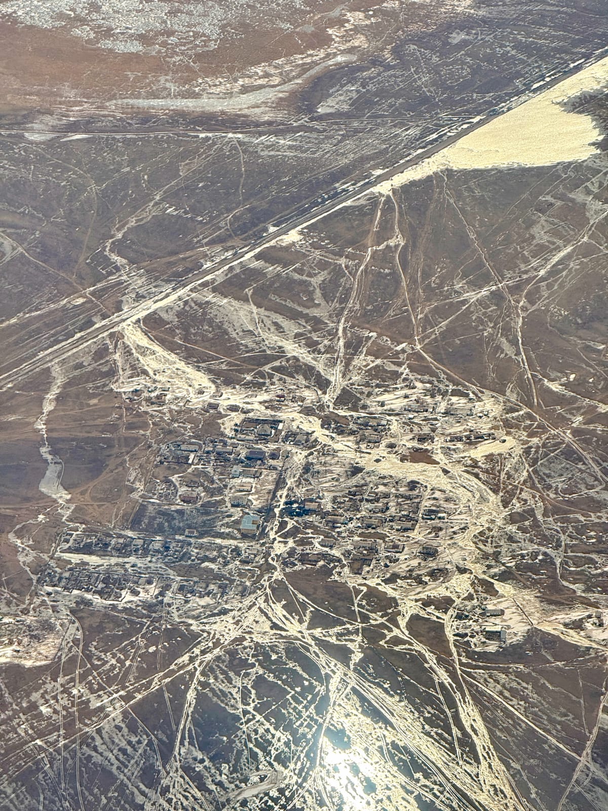
The head of the region, Asayin Baikhanov, together with the leadership of the Pavlodar region, inspected the Bayanaul district, which is at risk of flooding, as well as the territories bordering the Karaganda region.
Today, the thickness of snow in the district is 21 centimeters, which is 8 more than last year. Also, in the spring period, the rivers Ashchysu, Aidos, Bala-Shiderty, Karasu pose a significant threat. The sharp rise in the water level is due to the melting of snow in the mountains and the movement of meltwater flowing from the Karaganda region along the mouth of the Karasu River. Before that, works were carried out to strengthen it and increase its height. 1.6 km of the outer sides of the dam were strengthened with gabions.
Also, regional akim Asayin Baikhanov, together with the head of Karaganda region Ermaganbet Bolekbaev, inspected Akzhar and Karatoka dams of Karaganda region, which threaten the villages of Bayanaul district during spring floods.
Bukhar Zhirau district of Karaganda region and Satbaev of Bayanaul district When the large amount of snow collected in the border area of the rural district melts intensively, as well as if the "Akzhar" dam is full and water is released, there is a risk of flooding in 7 settlements of the district.
The main channel of water flowing from the "Akzhar" dam is K. 10-15 km from the village of Satbaev, it connects with the channel of the water flowing from the "Karatoka" dam, and in this connection, the nearby M. Zhusip, Zhanatilek, Kokdombak, K. Satbaev, M. Hydroposts are equipped near the villages of Shorman.
As a result of aerial reconnaissance, monitoring of the situation at the "Akzhar" dam of the Karaganda region was carried out. The reservoir with a design volume of 4.2 million cubic meters is 71% full today.
The "Karatoka" dam is located 25 km from the village of Bukar Zhirau. Today, this water reservoir, which can hold 3 million cubic meters of water, is 33% full.
According to the data of the Pavlodar region branch of RMC "Kazhydromet", the amount of precipitation that fell in the autumn period in the entire region is more than normal. It is observed that the ice freezes with the formation of holes in the hydroposts of the Irtysh River.
According to experts, the flood period in the region will take place in 2 stages: in the 2nd-3rd decade of March - the snow will melt, and in the 2nd-3rd decade of April - water will be released from the Upper-Irtysh cascade of reservoirs.
Aerial survey of flood-prone areas will allow timely identification of possible risks and taking all necessary measures. gave According to the results of the aerial inspection, tasks were given to the relevant state bodies, their implementation will ensure the safe passage of the flood period.
Aerial reconnaissance of the flood-prone areas showed that the measures taken at the moment allow to control the situation. There is a necessary reserve of forces and special equipment.
Press service of the akim of Pavlodar region
Source : https://www.gov.kz/memleket/entities/pavlodar/press/news/details/960242?lang=kk