Ustyurt State Nature Reserve
12.07.2026 18:08:47 1661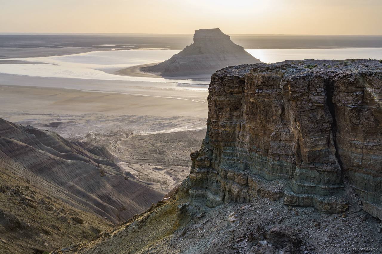
RSI "Ustyurt State Nature Reserve" is a specially protected natural area with the status of a nature conservation and scientific institution. The main purpose of the Reserve is to preserve, study and restore the natural course of natural processes and phenomena within its territory, conserve and study flora and fauna, individual species and communities of plants and animals, as well as typical and unique ecosystems. The Ustyurt State Nature Reserve was established on 12 July 1984 by Resolution No. 294 of the Council of Ministers of the Kazakh SSR. The purpose of its establishment is to preserve the natural complexes of the desert zone in the southwestern part of Kazakhstan in their natural state.
The Reserve carries out its activities in three main areas:
- protection of the Reserve's territory and maintenance of the protected natural complexes in their natural condition;
- environmental monitoring through the maintenance of the Nature Chronicle and the implementation of scientific research;
- environmental education of the local population and promotion of nature conservation.
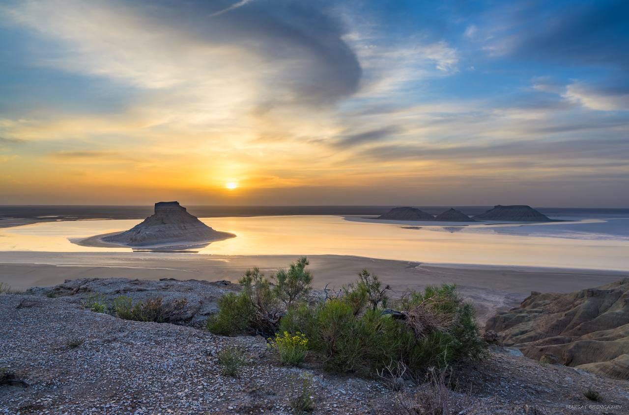
The territory of the Reserve includes part of the western escarpment of the Ustyurt Plateau, a narrow strip of the plateau, and the extensive Kendirli Salt Flat (Kendirli Sor). Administratively, the Reserve is located within the Karakiya District of the Mangystau Region. The Ustyurt State Nature Reserve is situated in the southwestern part of the Ustyurt Plateau within the Aral–Caspian watershed. Its territory extends 43 km from west to east at its widest point (from 54°09′ to 54°55′ east longitude) and 95 km from north to south (from 42°34′ to 43°23′ north latitude, according to the 1942 coordinate system). The total area of the Reserve is 223,342 hectares. It comprises the southern part of the Western Escarpment of the Ustyurt Plateau (from the Mamekkazgan Well in the northwest to the Kyzylsai Gorge in the south), the adjacent narrow strip of the Ustyurt Plateau, the eastern part of the Karynzharyk–Kendirli Sor Depression, fragments of the Karynzharyk sand massif, and Mount Karamaya.
The highest point of the Reserve is located on the Western Escarpment of the Ustyurt Plateau, near the Kokesem Well, at an elevation of 340 m above sea level. The lowest point is situated in the northern part of the Kendirli Salt Flat at 52 m below sea level.
Due to the diversity of its landforms and soils, the Reserve is characterized by rich biological diversity. To date, 403 plant species, 33 mammal species, 174 bird species, 15 reptile species, and 1 amphibian species have been recorded within its territory.
The following species occurring in the Reserve are listed in the Red Book of the Republic of Kazakhstan:
Plants: Small Sea Kale (Crambe minutiflora), Hardy Spurge (Euphorbia stricta), Khiva Saltwort, Common Soft-fruited Plant, and Chalk Rhubarb.
Birds: Little Egret, Eurasian Spoonbill, Glossy Ibis, Greater Flamingo, Short-toed Snake Eagle, Steppe Eagle, Cinereous Vulture, Golden Eagle, Bearded Vulture (Lammergeier), Egyptian Vulture, Saker Falcon, Peregrine Falcon, Demoiselle Crane, MacQueen's Bustard, Mediterranean Gull, Black-bellied Sandgrouse, Pallas's Sandgrouse, and Eurasian Eagle-Owl.
Reptiles: Pallas's Coluber (Pallas's Racer).
Mammals: Argali, Goitered Gazelle, Caracal, Honey Badger, Pallas's Cat (Manul), Marbled Polecat, Sand Cat, Persian Leopard, and White-bellied Long-eared Bat.
The administrative headquarters of the Reserve is located in the city of Zhanaozen. The nearest point of the Reserve's boundary is 130 km from the headquarters, while the regional center, Aktau, is located 150 km away. The Reserve can be reached from Zhanaozen via the village of Kyzylsai (22 km), then along the Beket Ata graded road (94 km), and further east to the Baluaniyaz Ata Necropolis (40 km). The Mamekkazgan Ranger Station is located 1.5 km from the necropolis. The southern boundary of the Reserve can be accessed from Zhanaozen via the village of Kulandy (15 km), then through the Kendirli–Kayasan Upland to the Onere area (120 km), where another ranger station of the Reserve is located. The nearest settlement to the Reserve is the village of Akkuduk, situated approximately 30 km from its territory.
Source : https://www.gov.kz/memleket/entities/ecogeo/press/news/details/1249837?lang=ru