
The subsystems "Digital Safety data sheet" and "Interactive map" were presented
07.12.2024 12:30:09 1110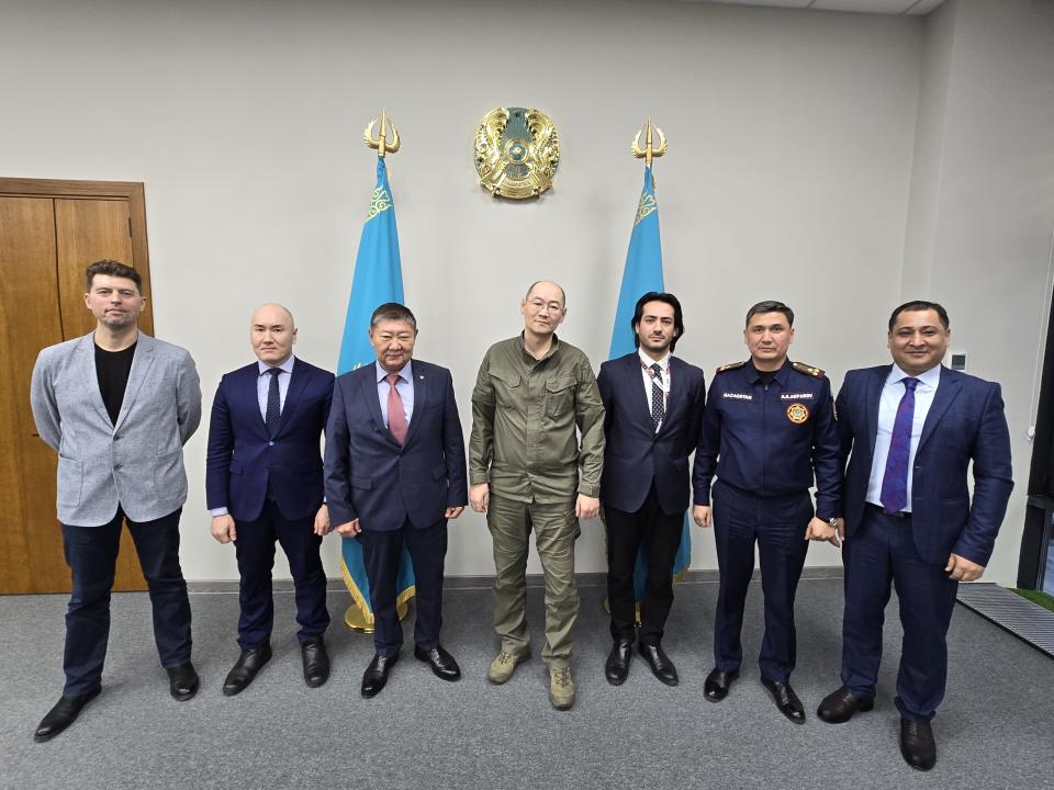
To date, the Ministry of Emergency Situations continues to digitize the country's security passports.
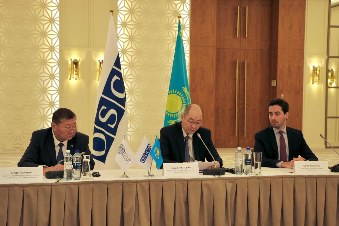
So, on December 6, the OSCE office in Astana, together with the Center for Emergency Situations and Disaster Risk Reduction, held a presentation of the subsystems "Digital Safety Data Sheet" and "Interactive Map", developed at the request of the Ministry of Emergency Situations of the Republic of Kazakhstan.
The event was attended by representatives of OSCE participating States, Ministries of Emergency Situations, Foreign Affairs, Water Resources, digital development, ecology, as well as UNDP, UNU, Red Cross and Red Crescent societies.
Also on December 5, under the chairmanship of Vice Minister for Emergency Situations Batyrbek Abdyshev, a working meeting of structural and territorial divisions of the Ministry of Emergency Situations was held, where positive aspects and the most problematic issues were noted, as well as ways of their possible solutions in working with these subsystems.
"These subsystems will significantly simplify the work of territorial divisions when filling in and updating data, as well as facilitate work when using them in daily operational activities," said Vice Minister Batyrbek Abdyshev.
It is noted that the Safety Data Sheet and the Interactive Map are complex multi-user geoinformation systems for viewing, analyzing, editing safety data sheets, an atlas of natural and man-made hazards and emergency risks of the territories of the Republic of Kazakhstan.
Source : https://www.gov.kz/memleket/entities/emer/press/news/details/898087